Saturday, June 10, 2006


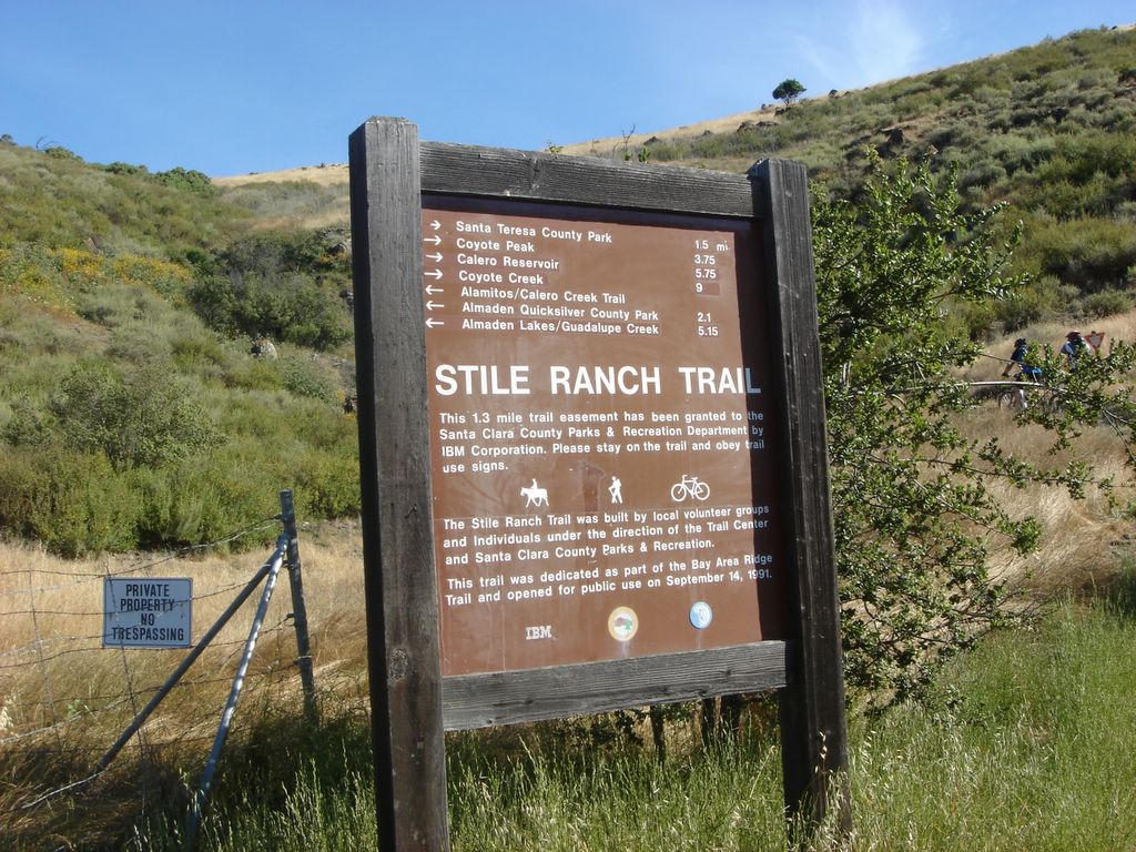
Hiking in Almaden Quicksilver Park, Randol and Mine Hill Trail, started, as such things do, at the trailhead. It was a pleasantly cool day when I started.

Looking back at the parking lot very shortly into the park. My car is the black sedan towards the middle.

The Road Ahead.

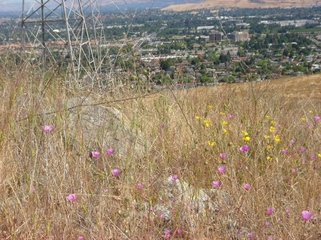
Don't worry, I'm just making sure that I still can't take decent pictures of flowers.

There were some clouds early in the morning that largely cleared an hour or so into the hike.

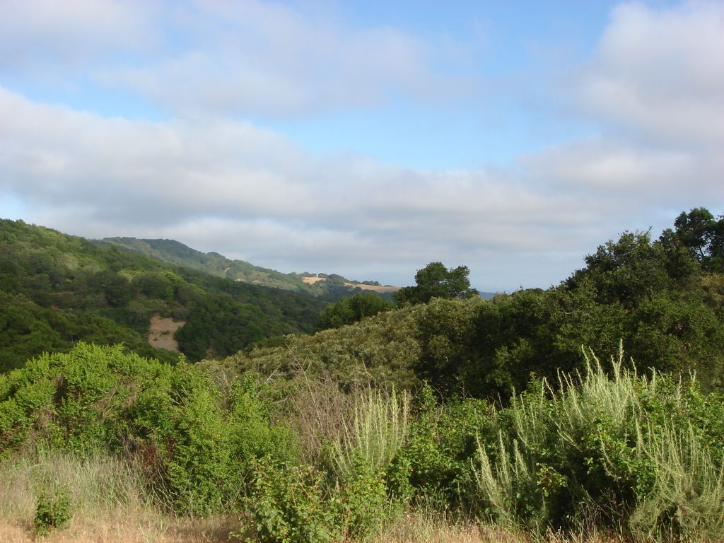
A random shot of some foliage.

I don't know why this photo turned out so dark.

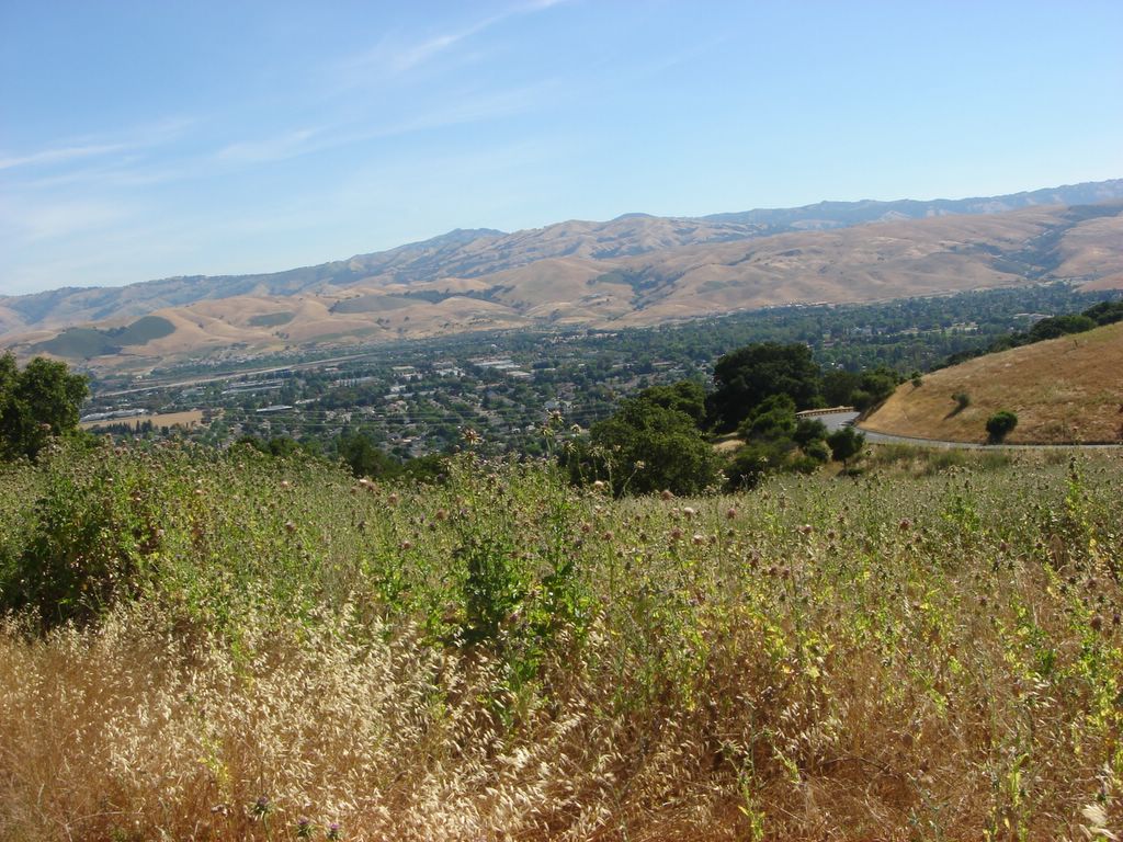
Looking out into the Santa Clara valley. You should be able to see the San Jose skyline on the horizon, but it's focused too close.

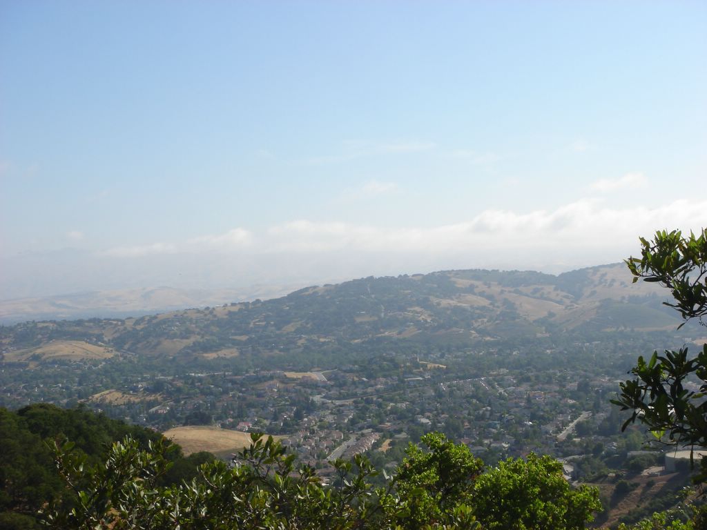
The Almaden Valley. This community used to be a mining village that supported the mercury mines up in these hills.

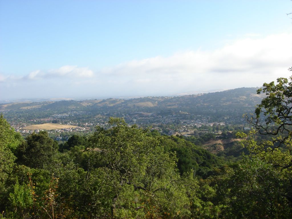
A wider view of Almaden. San Jose has acquired a reputation for sprawl, and it might deserve it, but while the city limits are huge it's still pretty heterogeneous... it's a city filled with other cities and neighborhoods that keep their own character and architecture despite being incorporated in the whole.

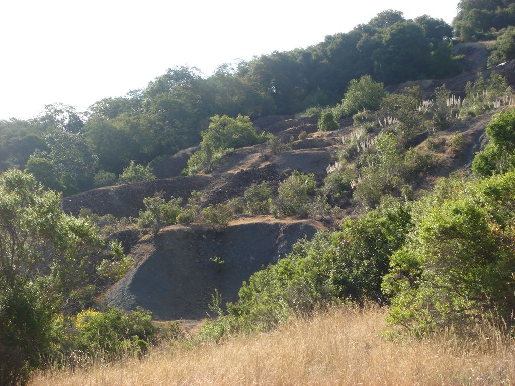
I just thought this looked kind of interesting. Sort of a series of dirt ridges.
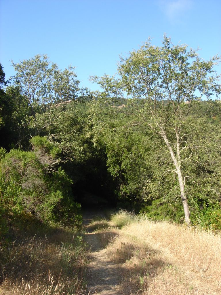
Into the Woods!

Um, here's some trees.

I like the way there's just that one tree all by itself on top of the hill. Sort of a poetic image. It probably thinks it's all alone, when there are thousands of trees close by.

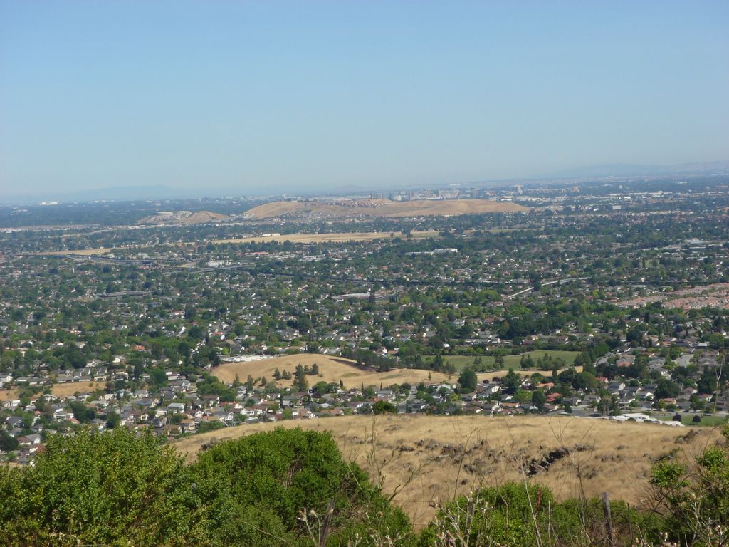
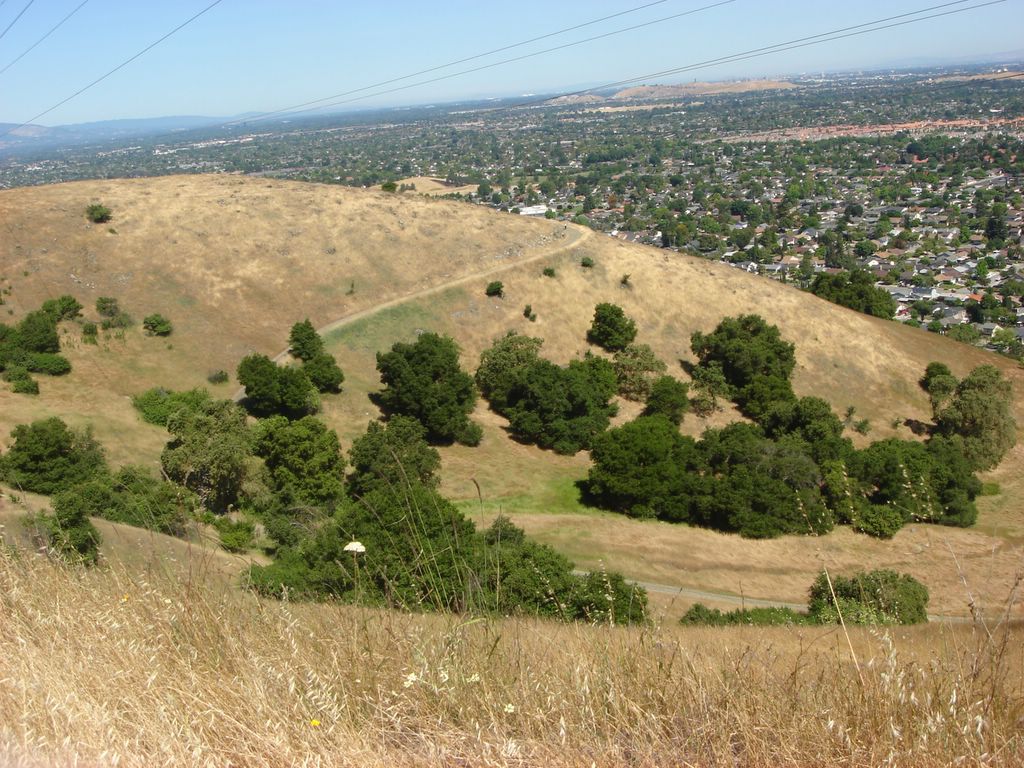
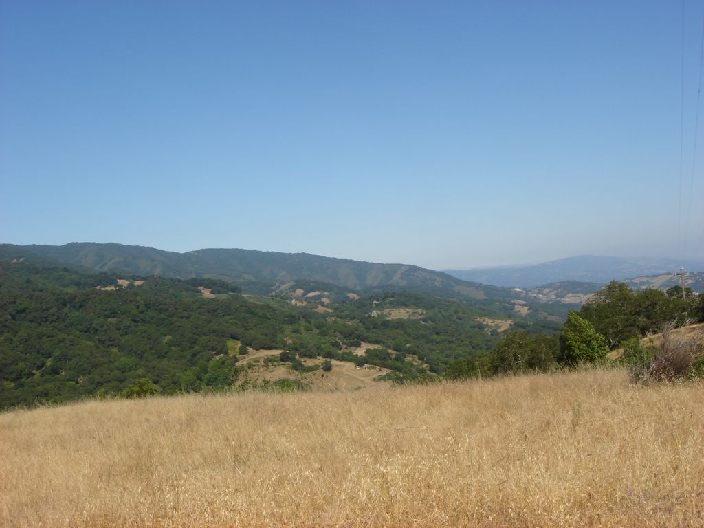
The Almaden Valley again, from much higher up. You can make out the Diablo range faintly rising in the background beyond the hills.

More of the valley. Of course, a lot of these houses wouldn't have been here in the early 1900s when the mine was still operating.

There's a picnic table and hitching post up ahead. This is where the Randol Trail meets Prospect #3 Trail and is a good spot for a break.

Trying again to get the San Jose skyline. It's a little more visible here, but I'm tilting the camera. Gah!

Once again it didn't turn out, but what I liked about this shot was the crest of a mountain rising above the cloud line. I'm not sure what mountain it is... Mount Hamilton would be most logical, but I think it's too far south for that.

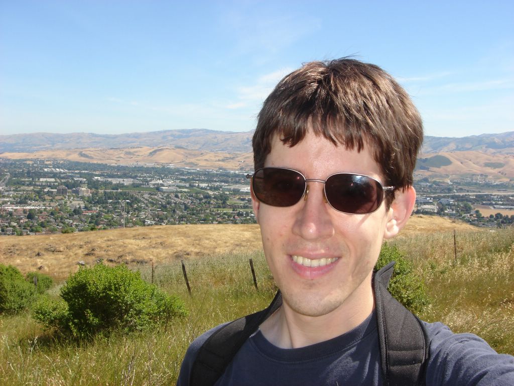
I've got a lot of cranium accessories! You were supposed to see more of the valley behind me, but my enormous hat covers much of it up.

Mysterious building up on top of a crest of the Santa Cruz mountains. This might be part of the Air Force base but I'm really not sure.

It's when I get to this bench that I realize I definitely have done this hike before - I was pretty sure I'd done the park before, but when I got here I knew I did this same route (though maybe in reverse).

View from sitting on the bench. I first did this hike the first or second weekend after I moved to California, and remember vividly how much I fell in love with the views. I'd brought a lunch with me the first time and sat here while eating a sandwich, apple, and cookies; this time around I finished off a granola bar and then pressed on.

There's a collection of houses on the far side of the reservoir.

Bunny rabbits! They didn't seem to have any fear.

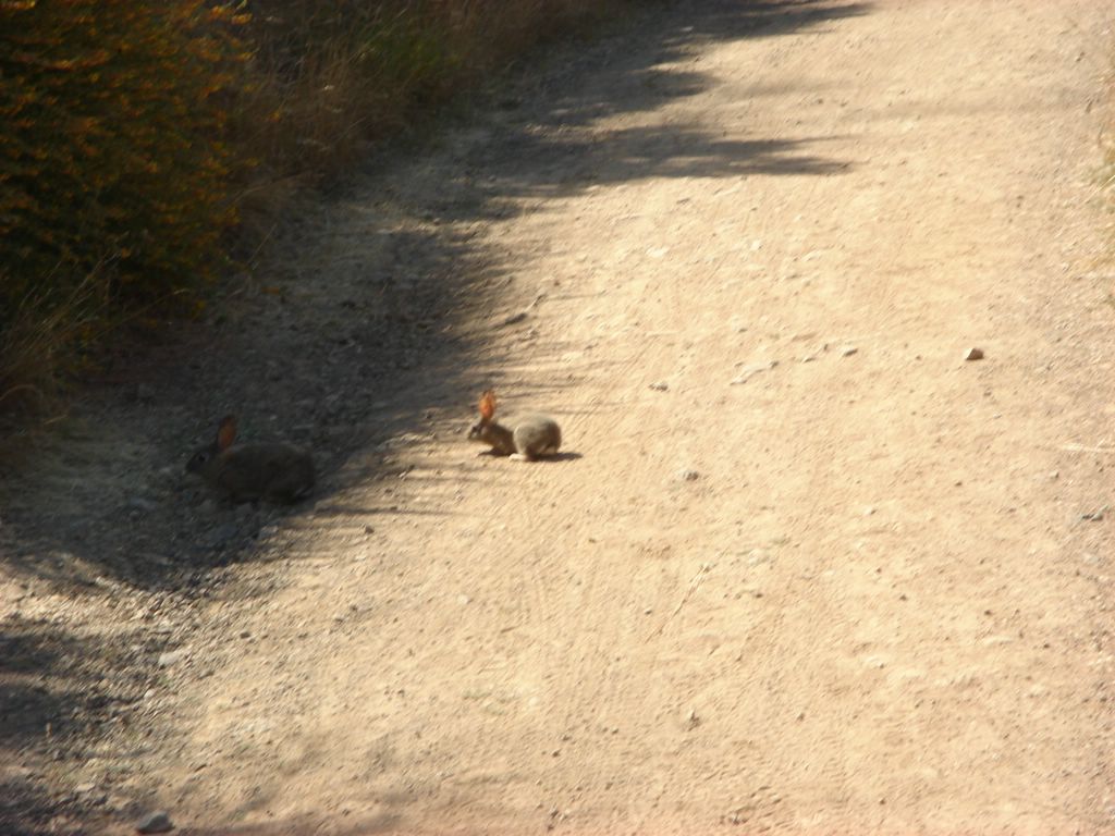
I got up super-close and they were still totally cool.

Another tilted view of the valley. Why do I keep doing this?

Looking back down on the reservoir and houses after ascending a bit more.

I like the look of the winding road. People on the trail can't see the city because they're slightly below the ridge. So close, yet so far...

This is as good a point as any to mention that, for the first time in ten months of hiking, I forgot to bring my book with the trail description and map. Fortunately I'd gone over it ahead of time and could remember it.

I've forgotten everything else before - hat, sunglasses, compass, food - so it was just a matter of time, I guess.

I have GOT to learn how to hold the camera straight.

Near the end of the hike! There are nearly twice as many cars in the lot now as there were before. Total distance: 10.5 miles. Elevation gain: 1300'. Time: Rated at 6 hours, as always I didn't time my start but it was around 4 hours. Excellent hike, a bit crowded towards the end, good mix of hikers, dog-walkers and cyclists. Next time I want to take some more time and do some of the loops and dead-ends that I skipped over.


Wayne's Birthday Party! Robert and Young organized a company-wide celebration in honor of our CEO. It was pretty fun; a caterer came and did a barbecue out in the parking lot with lots of really good food. Once we'd polished off the ribs, chicken breasts, potato salad, beef tips, rolls and margaritas, it was time to cut the cake! Wayne is an enthusiastic auto guy who races in his free time, hence the decoration for the cake.

Wayne and his daughter do the honors. In the background: Ray, Young, Shane, John Sullivan and Robert.

No comment.

Random shot. Everyone's families were invited, and it was surprising and pleasant to see so many children around. Young's son is amazing, he's exactly like a little version of his father.

Wayne also got to knock open the pinata. Here he is walking back, while the little tykes dive for the copious amount of candy. Each one of them (and remember, there were a lot of kids there) walked away with about two cereal bowls full of candy.

Wayne opens his present, a Los Gatos cap. His other one, which I didn't get a picture of, was one of those fun electric racetrack toys. Happy Birthday, Wayne!

Saturday, June 03, 2006


Hiking the Santa Teresa County Park's West Entrance Loop. This was my first visit to the park; the longest hike was rated at 2.5-3 hours, which is shorter than I usually like, but I got started later today and it seemed to fit the bill. Here's the big ole sign marking the trailhead.

The hike started up a steep incline with a lot of switchbacks. Two cyclists got started right before I did and beat me to the top.

A glance to the southeast near the start of the hike. This was a pleasing, rural area with spread-out ranch homes. The low, rolling hills are common in the Almaden area.

This look is directly south; you can see my car towards the bottom left. The Santa Cruz mountains loom in the background.

Now let's check out the southwest. I passed a few hikers up this first hill.

Once I reached the crest, it flattened out for a while. This section reminds me of the Kansas prairie hikes I used to do.

On the far side of the summit, it emptied out into a valley before gradually rising again.

I passed the cyclists at the summit, then they passed me again on the way down. The first part of the hike felt crowded, but this would be the last time I met anyone on this hike.

A northern hillside. There's something which looks kind of like a station towards the right of the frame; I thought my trail would take me here but it didn't. It kind of looks like there might be an old rail line here.

Here are some farther hills.

Flowers! The purple ones in the foreground were really striking but didn't turn out well in this shot. I have yet to take a really satisfying picture of flora.

I crossed a sleepy road on my way to Bernal Hill.

Oh, no! The earth is tilting at an alarming angle!

The Santa Clara Valley. I saw a similar vista on the hike I took my first weekend in California, and have now seen the valley over a dozen times from all over the compass. I still love it. So urban, so green, so striking. You can see downtown's skyline rising in the middle of this picture, barely visible above the low hills.

Here's a picture of the Diablo range that doesn't look like they're falling over.

It's meeeeeeeee!

Looking east from Bernal hill. I forgot to turn on infinite focus for the entire hike, but most of the landscapes still came out OK.

Another attempt at getting some flowers. Notice how they are attractively framed by a power line tower and office parks.

I didn't hike the portion of the trail you see here; according to my book it leads to the historic Joice-Bernal House, but you need a permit to go there.

This time the power lines are deliberately in the picture. I have no idea why they ran parallel lines here; perhaps for redundancy? Why just here? Also, I like how green the valley here looks.

This is the return portion of the Bernal Hill loop, which was a bit flatter than the the first part.

A final semi-random shot. There's an interesting large building that's visible way over on the east end of the Santa Cruz section, but you can't see it unless you blow it way up. Anyways. This was a fun hike; a bit more crowded and shorter than I generally like, but excellent scenery and some good climbs. My right arm got a little burned; darn you, atrophied arm! As always I forgot to check the time before I headed out; I was probably between 2 and 2.5 hours for the whole route.