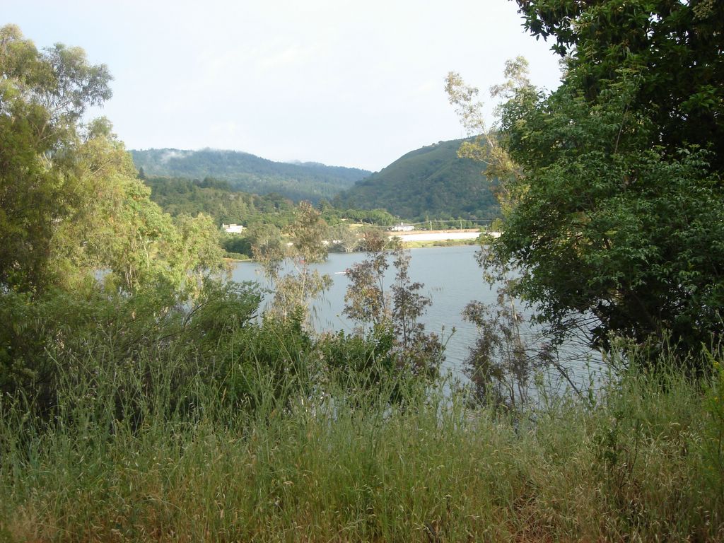
Hiking the Priest Rock and Limekiln Trails in the Sierra Azul on 06-05-20. Before I start, here's a view of the Lexington Reservior from Alma Bridge Road.
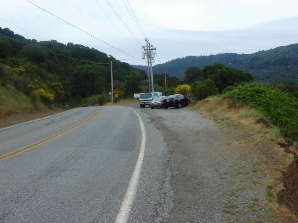
Here's a glance back at my car. It took me about 20 minutes of driving back and forth to find the darn trailhead, so I wanted to take a picture of where I finally parked so it will hopefully be less of an ordeal next time.
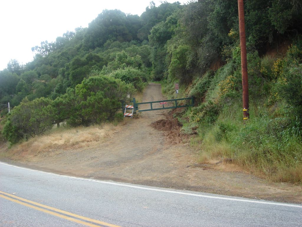
Here's that pesky trailhead, which I passed more times than I care to admit. Incidentally, this was my first-ever hike since getting this camera, so I was a bit more shot-happy than I will probably be in the future.
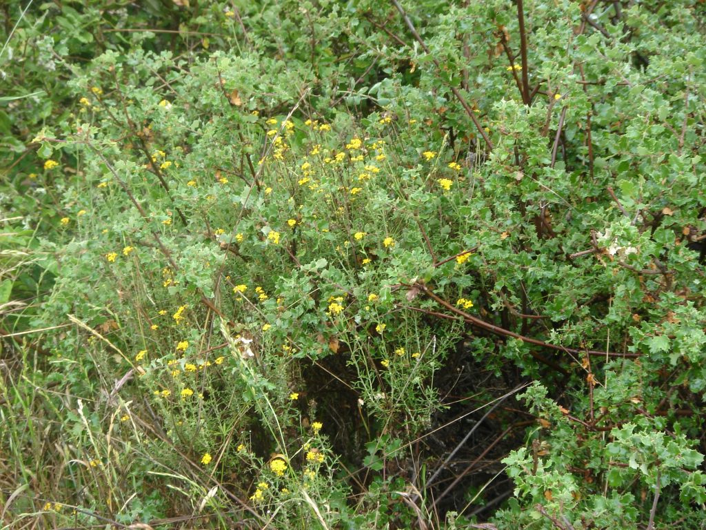
Of course, that also means I'm not very good at taking shots yet. I made a bunch of attempts at wildflowers, but this is the only one to end even halfway decent.
We've gotten some elevation by now. I'm looking across a Lexington inlet back at the road below.

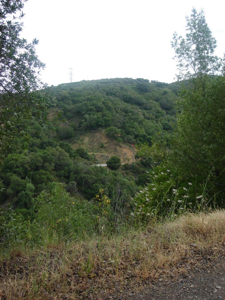
A better look at the reservoir itself.

A look at the opposite hillside. Again, I'm not very good at operating the camera yet; it was actually a day with pretty, clear blue skies, but light from the sun is washing out the sky.
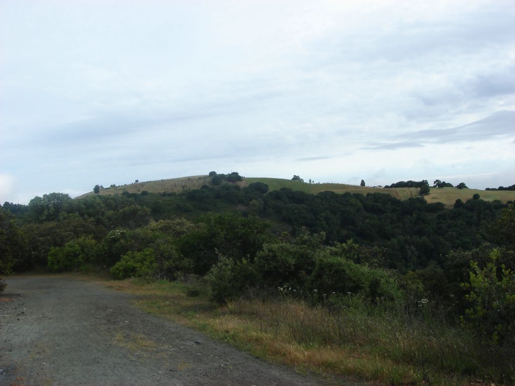
I was intrigued by this hilltop. That's probably a vineyard on the right; the section on the left also looks landscaped, but I have no idea what its purpose is.
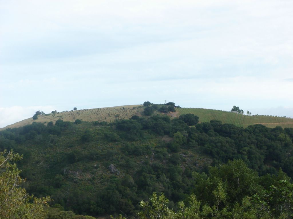
Another shot, this time more clearly showing the line where cultivation begins.
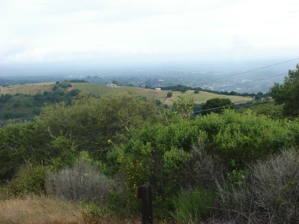
I have now officially crossed over into the SAOSP. You can see the Santa Clara valley to the upper right. I think this was the first shot where I switched from "Multi Auto Focus" to "Infinity Focus."

... which may or may not have helped. It seems to make the foreground fuzzier without necessarily making the background much clearer.

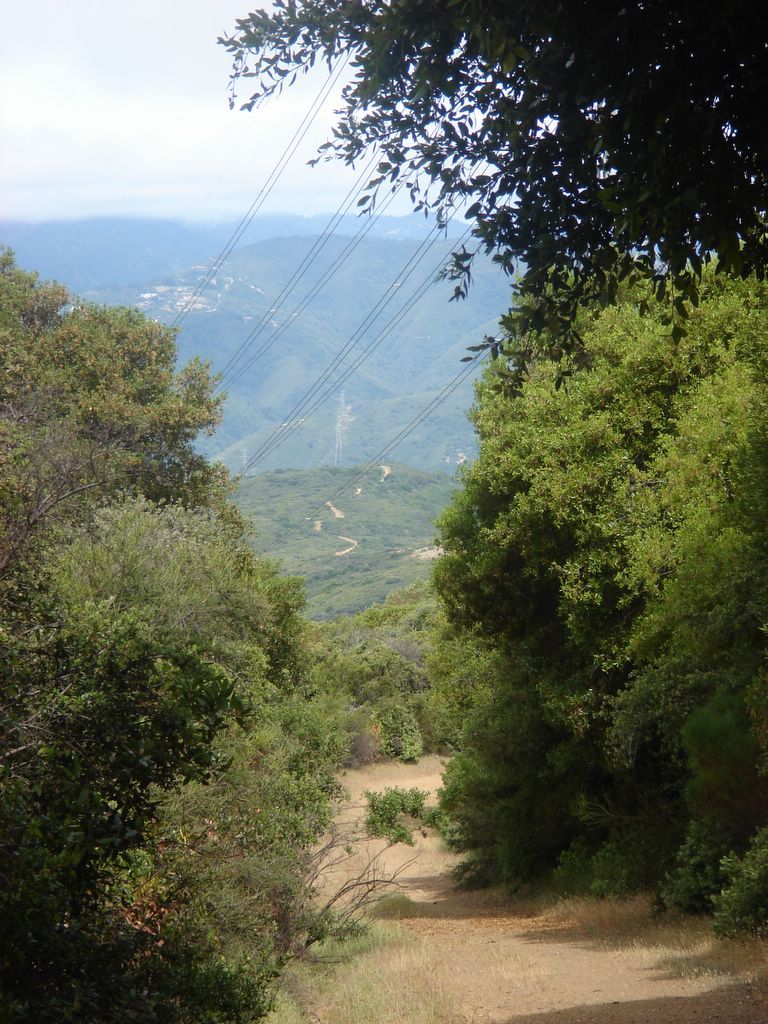
A lot of these trails are service roads which often cross the power lines. It's less scenic than the traditional dirt path, but on balance is a good thing - a lot of these trails probably wouldn't exist otherwise, plus it makes it a lot easier to hike in groups and talk.
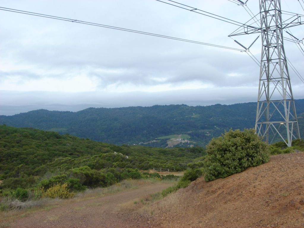
A lot of these trails are service roads which often cross the power lines. It's less scenic than the traditional dirt path, but on balance is a good thing - a lot of these trails probably wouldn't exist otherwise, plus it makes it a lot easier to hike in groups and talk.
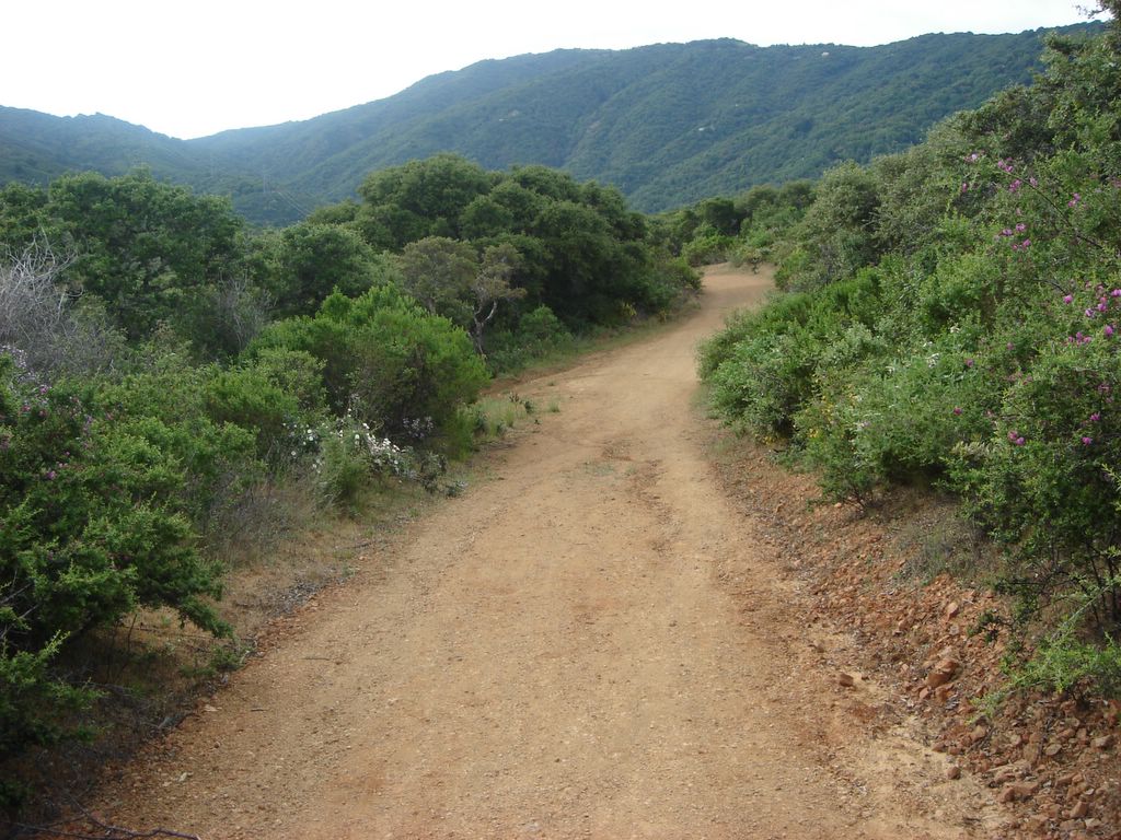
Another attempt at capturing the wildflowers that line the road. I don't know... you can sort of see that they're there, but not much definition.
A glance at the road ahead, winding along the ridgeline.

My first attempt at the generational take-a-picture-of-yourself technique. Blech... let's try that again, shall we?

Hmm... how do I adjust the Dorkiness Level on this camera?

Ahhh, forget it.
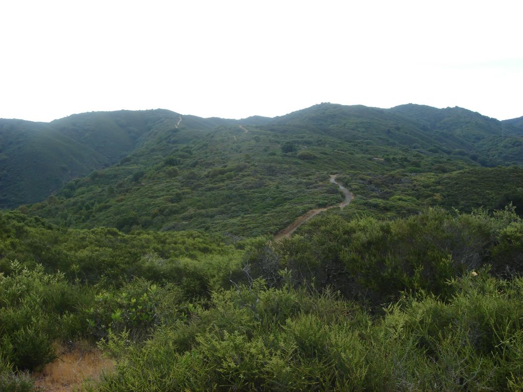
Depth perception is limited in these pictures. That second stretch of road is rising at about 60 degrees from grade. This was a not uncommon sight along the trail.
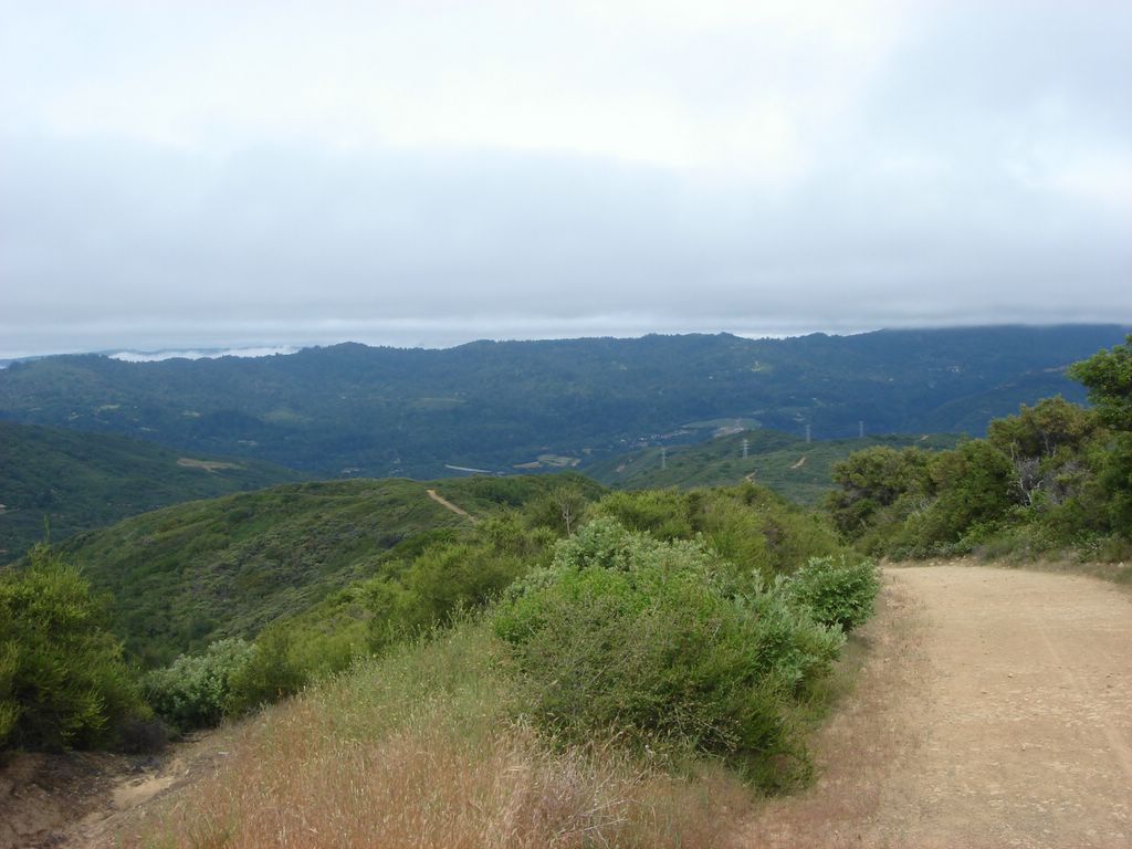
A glance into the valley. Pretty scenic, huh?
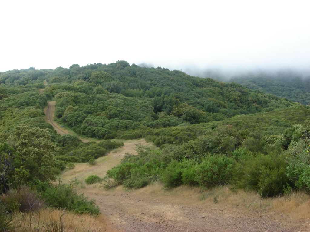
... and a look along a row of hills. Check out that fog in the distance.

Phew! I have made it to the top! I shall stop and take a picture of the long, steep way I have climbed, and then I shall continue my journey by turning to the left...
Nooooooooo!

Nooooooooo!

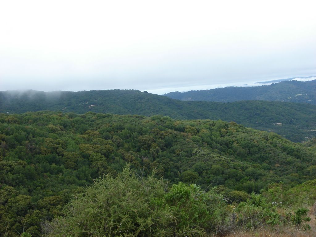
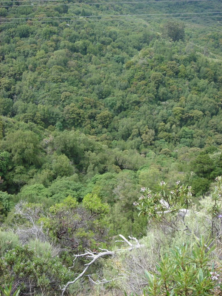
Another look at the valley.
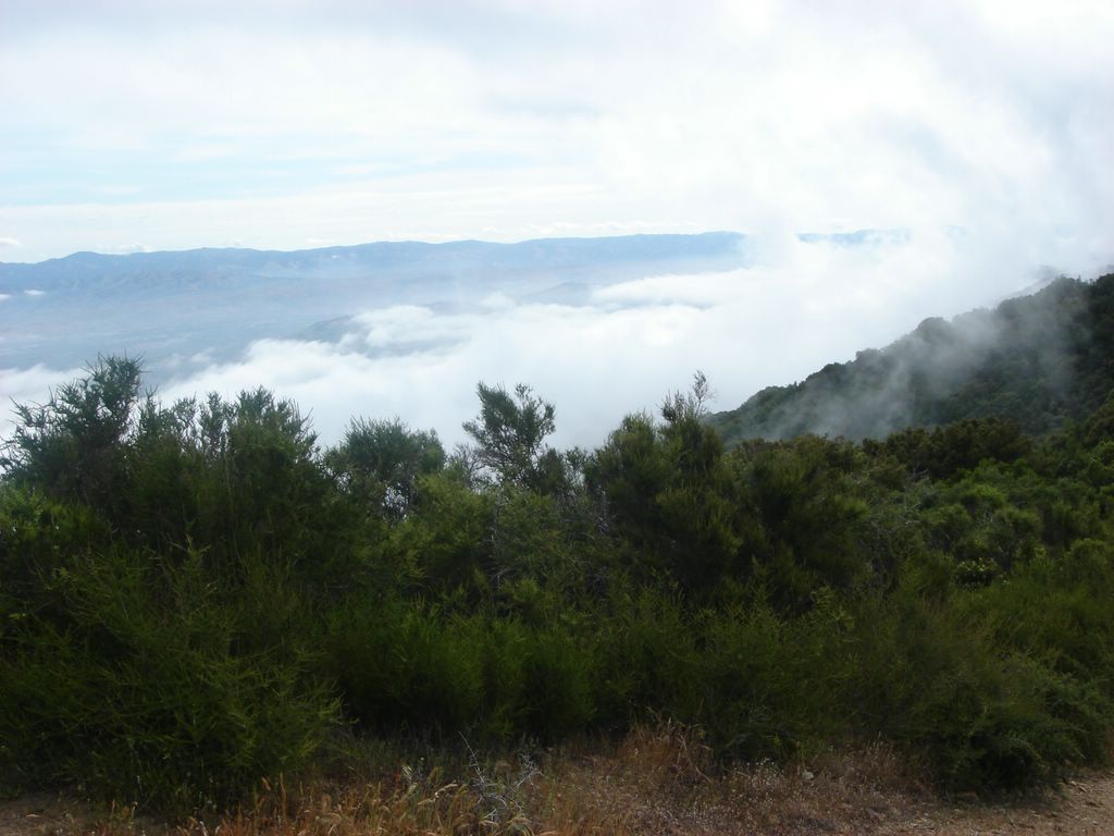
Oooh, look at the fog!
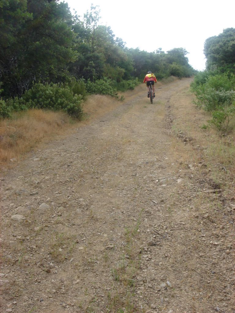
One of many cyclists who passed me along the hike. These guys are crazy. That ascent is terribly steep.

Still more fog.
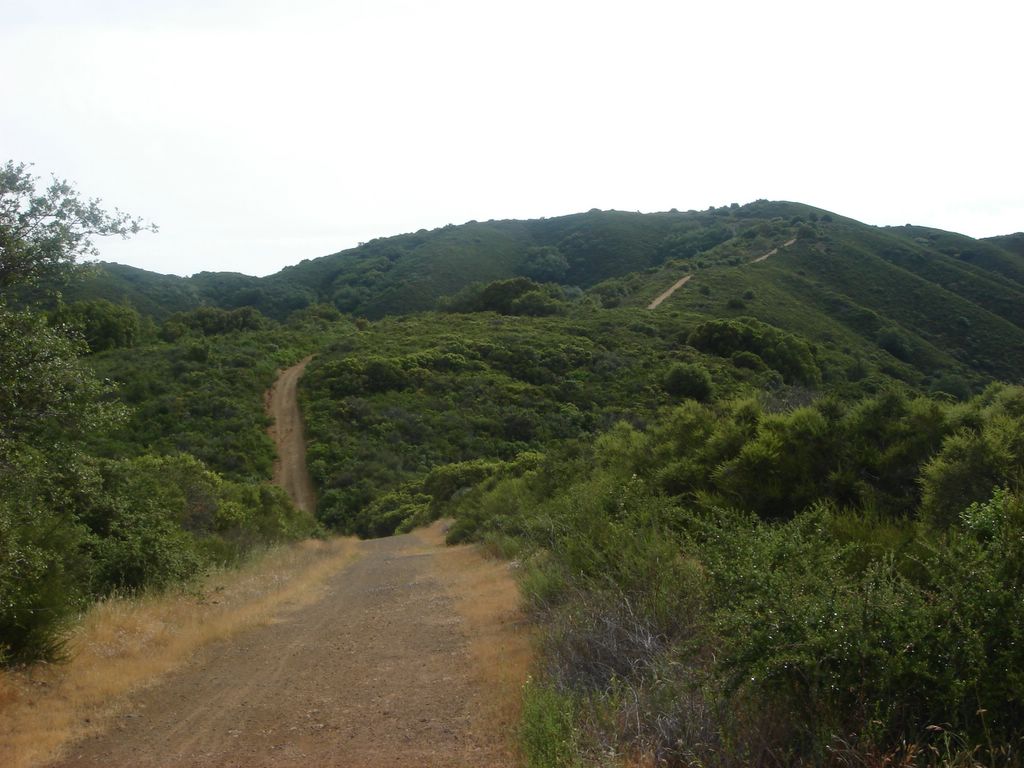
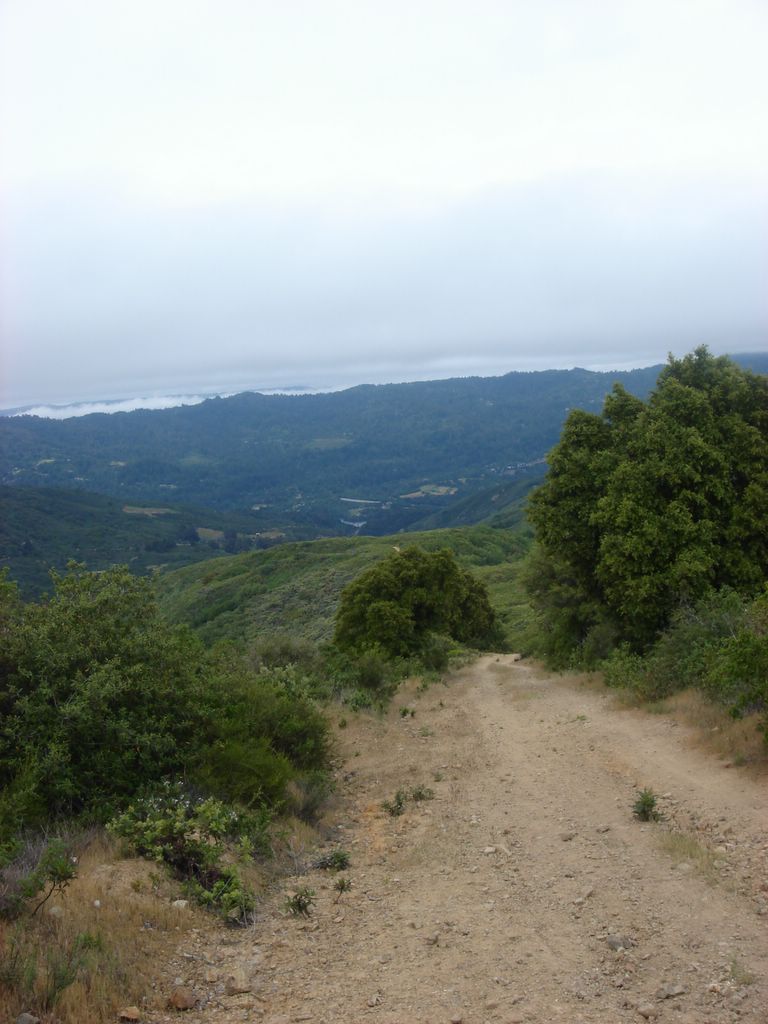
The road goes ever on and on. I've passed the summit, though, and it will be largely downhill from now.
I like this shot; again, though, it's a shame my pictures are so bright and washed-out. I'll try to do better next time.

There's a cool-looking, large estate towards the upper left of this picture. I'm a city boy, but every once in a while I think it'd be cool to live in a remote area like this. It wouldn't, of course. For a week it would feel like a relaxing vacation, and then I would snap and begin fomenting rebellion among the badgers.
Last shot, down into Soda Springs canyon. My guidebook was wrong; the total trail mileage was around 11 miles and not 6.5. It took me a bit over four hours to hike the whole loop. Net elevation gain was around 2300' with the maximum elevation at 2900'.
posted by Christopher Charles Horatio Xavier King III, Esq. @ 9:41 AM
0 comments
![]()


0 Comments:
Post a Comment
<< Home