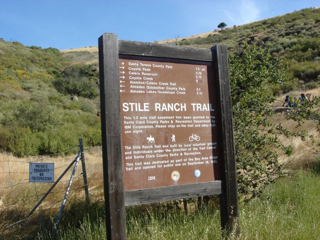
Hiking the Santa Teresa County Park's West Entrance Loop. This was my first visit to the park; the longest hike was rated at 2.5-3 hours, which is shorter than I usually like, but I got started later today and it seemed to fit the bill. Here's the big ole sign marking the trailhead.

The hike started up a steep incline with a lot of switchbacks. Two cyclists got started right before I did and beat me to the top.

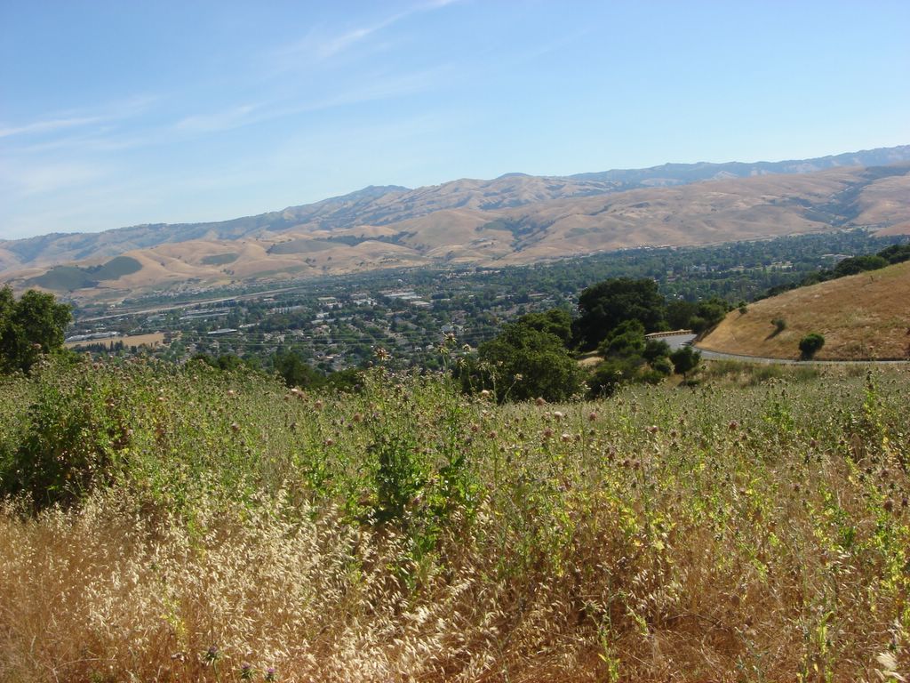
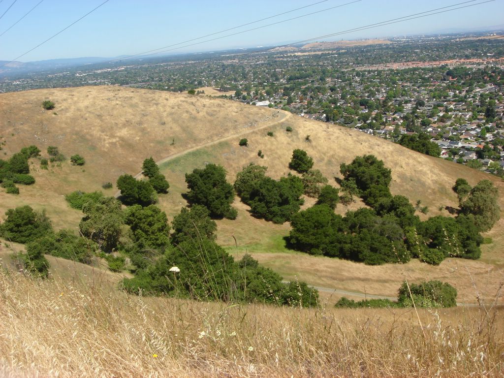
A glance to the southeast near the start of the hike. This was a pleasing, rural area with spread-out ranch homes. The low, rolling hills are common in the Almaden area.

This look is directly south; you can see my car towards the bottom left. The Santa Cruz mountains loom in the background.

Now let's check out the southwest. I passed a few hikers up this first hill.

Once I reached the crest, it flattened out for a while. This section reminds me of the Kansas prairie hikes I used to do.

On the far side of the summit, it emptied out into a valley before gradually rising again.

I passed the cyclists at the summit, then they passed me again on the way down. The first part of the hike felt crowded, but this would be the last time I met anyone on this hike.

A northern hillside. There's something which looks kind of like a station towards the right of the frame; I thought my trail would take me here but it didn't. It kind of looks like there might be an old rail line here.

Here are some farther hills.

Flowers! The purple ones in the foreground were really striking but didn't turn out well in this shot. I have yet to take a really satisfying picture of flora.

I crossed a sleepy road on my way to Bernal Hill.
Oh, no! The earth is tilting at an alarming angle!
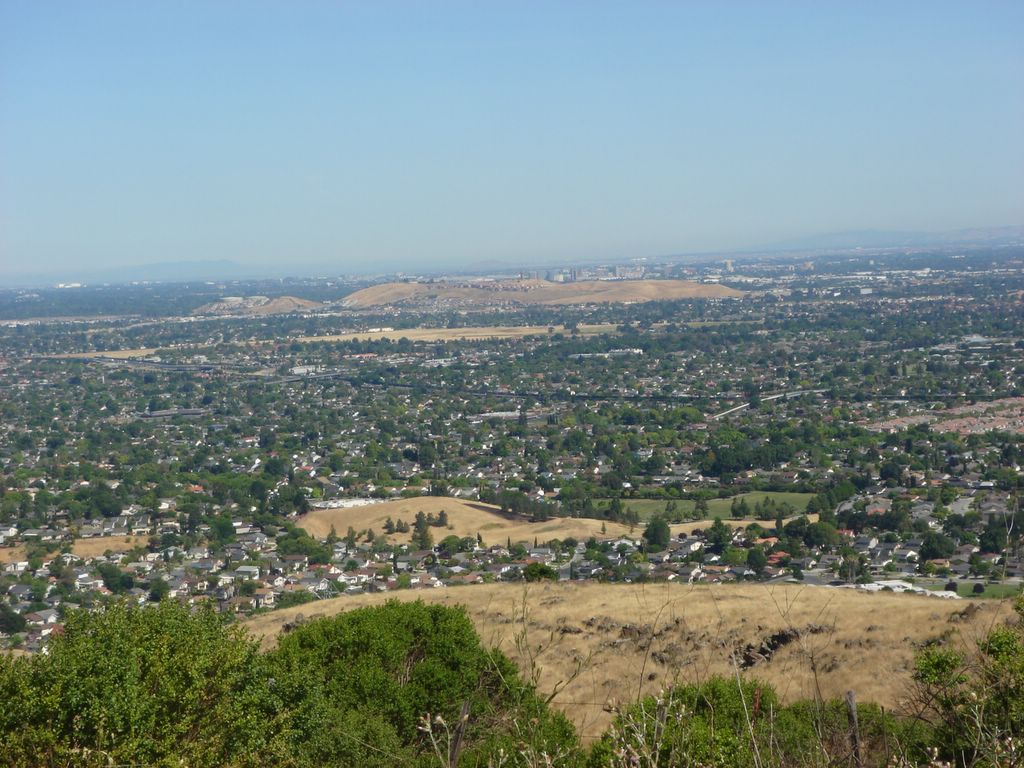
The Santa Clara Valley. I saw a similar vista on the hike I took my first weekend in California, and have now seen the valley over a dozen times from all over the compass. I still love it. So urban, so green, so striking. You can see downtown's skyline rising in the middle of this picture, barely visible above the low hills.

Here's a picture of the Diablo range that doesn't look like they're falling over.

It's meeeeeeeee!

Looking east from Bernal hill. I forgot to turn on infinite focus for the entire hike, but most of the landscapes still came out OK.
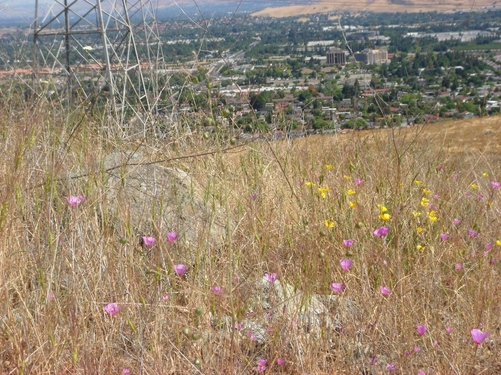
Another attempt at getting some flowers. Notice how they are attractively framed by a power line tower and office parks.
I didn't hike the portion of the trail you see here; according to my book it leads to the historic Joice-Bernal House, but you need a permit to go there.

This time the power lines are deliberately in the picture. I have no idea why they ran parallel lines here; perhaps for redundancy? Why just here? Also, I like how green the valley here looks.

This is the return portion of the Bernal Hill loop, which was a bit flatter than the the first part.

A final semi-random shot. There's an interesting large building that's visible way over on the east end of the Santa Cruz section, but you can't see it unless you blow it way up. Anyways. This was a fun hike; a bit more crowded and shorter than I generally like, but excellent scenery and some good climbs. My right arm got a little burned; darn you, atrophied arm! As always I forgot to check the time before I headed out; I was probably between 2 and 2.5 hours for the whole route.
posted by Christopher Charles Horatio Xavier King III, Esq. @ 8:52 PM
2 comments
![]()


2 Comments:
You have to be careful of the San Jose downtown skyline, and its wily ruses.
Dad
Haha! Thanks. The typo has been corrected.
Post a Comment
<< Home