
Hiking in Almaden Quicksilver Park, Randol and Mine Hill Trail, started, as such things do, at the trailhead. It was a pleasantly cool day when I started.

Looking back at the parking lot very shortly into the park. My car is the black sedan towards the middle.

The Road Ahead.
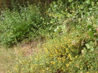
Don't worry, I'm just making sure that I still can't take decent pictures of flowers.

There were some clouds early in the morning that largely cleared an hour or so into the hike.

A random shot of some foliage.
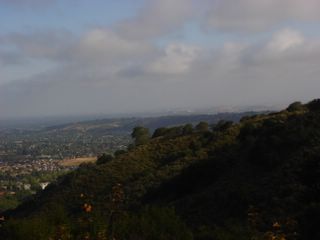
I don't know why this photo turned out so dark.

Looking out into the Santa Clara valley. You should be able to see the San Jose skyline on the horizon, but it's focused too close.

The Almaden Valley. This community used to be a mining village that supported the mercury mines up in these hills.

A wider view of Almaden. San Jose has acquired a reputation for sprawl, and it might deserve it, but while the city limits are huge it's still pretty heterogeneous... it's a city filled with other cities and neighborhoods that keep their own character and architecture despite being incorporated in the whole.

I just thought this looked kind of interesting. Sort of a series of dirt ridges.
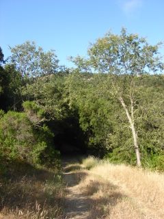
Into the Woods!

Um, here's some trees.

I like the way there's just that one tree all by itself on top of the hill. Sort of a poetic image. It probably thinks it's all alone, when there are thousands of trees close by.

The Almaden Valley again, from much higher up. You can make out the Diablo range faintly rising in the background beyond the hills.

More of the valley. Of course, a lot of these houses wouldn't have been here in the early 1900s when the mine was still operating.

There's a picnic table and hitching post up ahead. This is where the Randol Trail meets Prospect #3 Trail and is a good spot for a break.

Trying again to get the San Jose skyline. It's a little more visible here, but I'm tilting the camera. Gah!

Once again it didn't turn out, but what I liked about this shot was the crest of a mountain rising above the cloud line. I'm not sure what mountain it is... Mount Hamilton would be most logical, but I think it's too far south for that.

I've got a lot of cranium accessories! You were supposed to see more of the valley behind me, but my enormous hat covers much of it up.
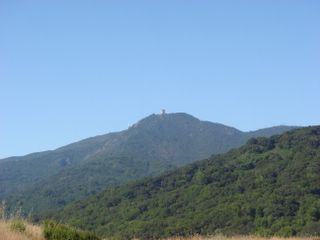
Mysterious building up on top of a crest of the Santa Cruz mountains. This might be part of the Air Force base but I'm really not sure.

It's when I get to this bench that I realize I definitely have done this hike before - I was pretty sure I'd done the park before, but when I got here I knew I did this same route (though maybe in reverse).

View from sitting on the bench. I first did this hike the first or second weekend after I moved to California, and remember vividly how much I fell in love with the views. I'd brought a lunch with me the first time and sat here while eating a sandwich, apple, and cookies; this time around I finished off a granola bar and then pressed on.

There's a collection of houses on the far side of the reservoir.

Bunny rabbits! They didn't seem to have any fear.
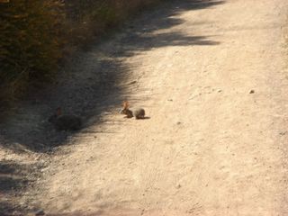
I got up super-close and they were still totally cool.

Another tilted view of the valley. Why do I keep doing this?
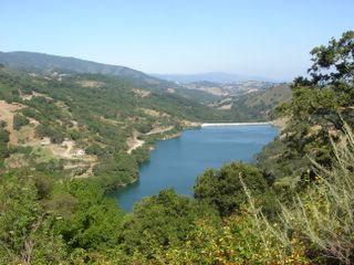
Looking back down on the reservoir and houses after ascending a bit more.

I like the look of the winding road. People on the trail can't see the city because they're slightly below the ridge. So close, yet so far...

This is as good a point as any to mention that, for the first time in ten months of hiking, I forgot to bring my book with the trail description and map. Fortunately I'd gone over it ahead of time and could remember it.

I've forgotten everything else before - hat, sunglasses, compass, food - so it was just a matter of time, I guess.

I have GOT to learn how to hold the camera straight.

Near the end of the hike! There are nearly twice as many cars in the lot now as there were before. Total distance: 10.5 miles. Elevation gain: 1300'. Time: Rated at 6 hours, as always I didn't time my start but it was around 4 hours. Excellent hike, a bit crowded towards the end, good mix of hikers, dog-walkers and cyclists. Next time I want to take some more time and do some of the loops and dead-ends that I skipped over.


0 Comments:
Post a Comment
<< Home